Maps for the world [2006–Present]
Stamen has worked to give away free mapmaking resources for almost a decade.
At first, we created open-source software libraries like Modest Maps, Tilestache, and Polymaps. These were widely used among geo-developers but arguably not useful to anyone who doesn’t speak in code.
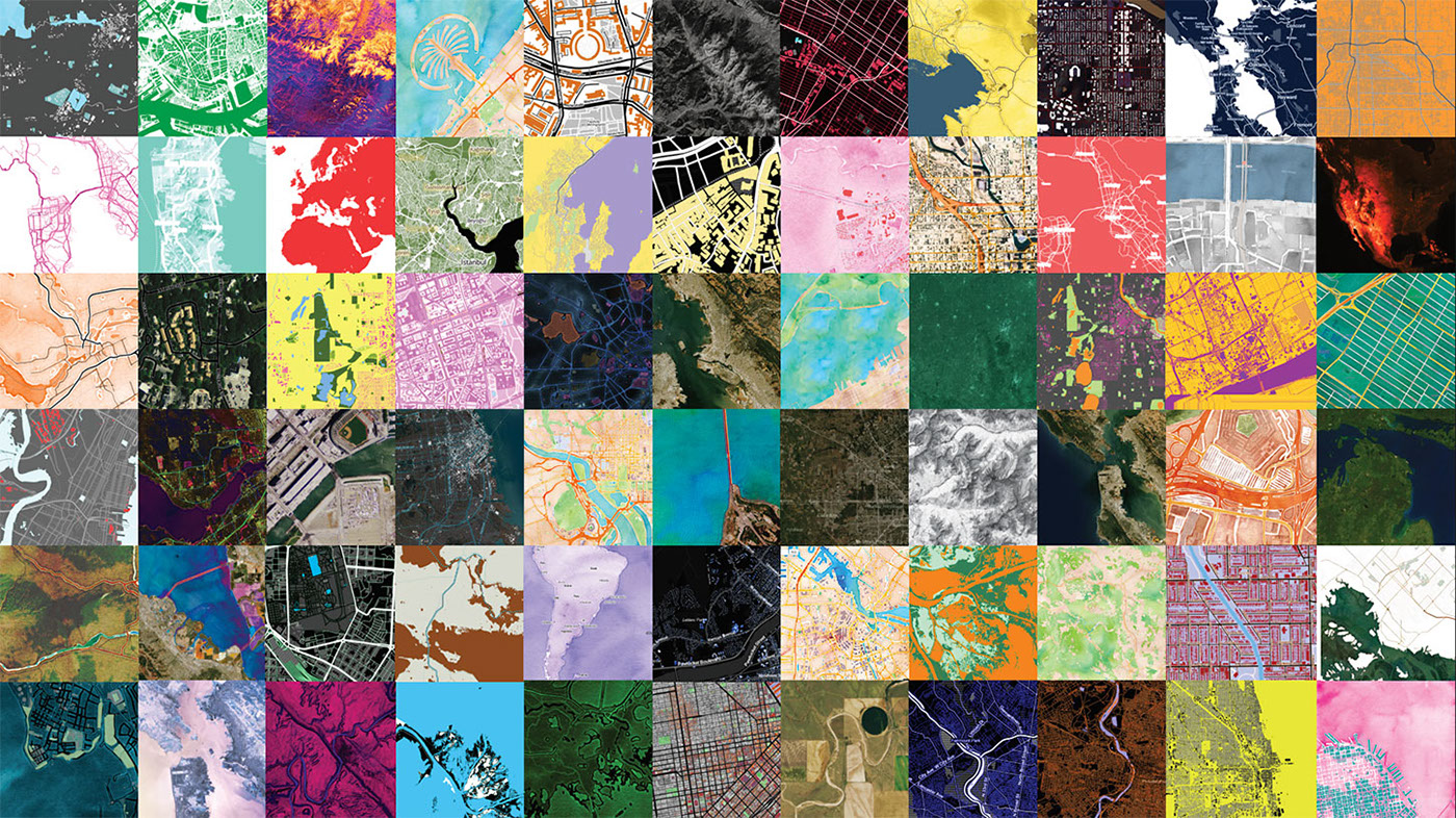
In 2010, we were funded by the Knight Foundation to facilitate the emerging practice of data journalism. The result of that “Citytracking” grant was three free Creative Commons-licensed worldwide tilesets – Watercolor, Toner and Terrain – available for use by anyone at maps.stamen.com.
We extended the free map tool in 2013 to Mapstack.stamen.com. It lets people make their own map styles using Photoshop-like controls via a web browser. So far, we have seen 579,018 map images, and 7 Billion map tiles requested in 2015 alone; an average of around 20 million per day.
Now we’re in the midst of more Knight-funded work, making a global terrain map all based on open data. Beyond releasing new terrain maps that anyone can use for free, we’re also making the underlying terrain data and code available as an open source proje ct. We plan to work with developers and beginners alike to create our documentation, ensuring that everyone who is interested can easily use this resource.
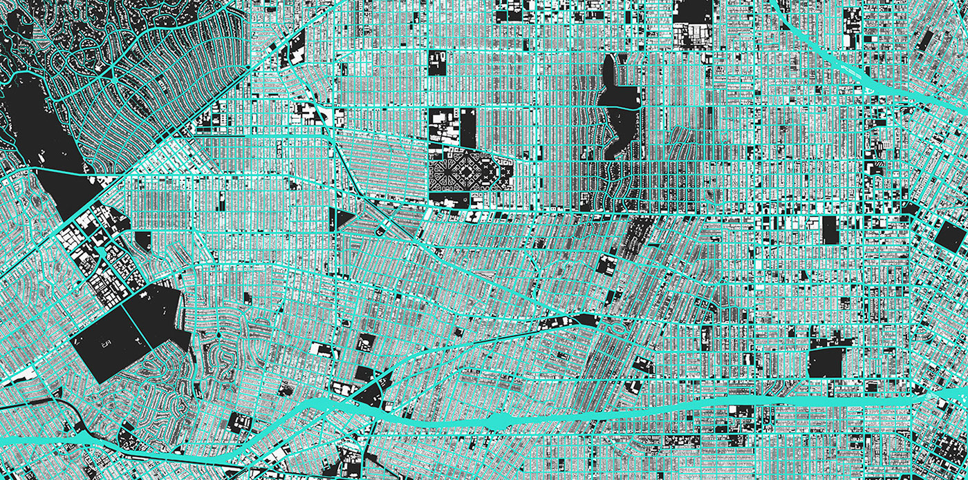
la.stamen.com

watercolor

parks


